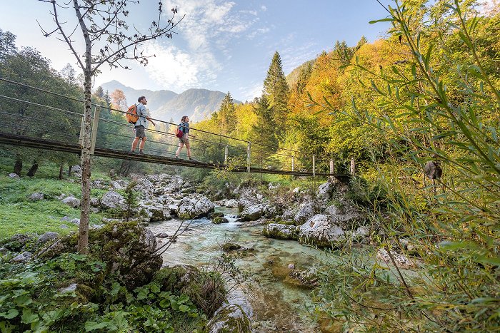
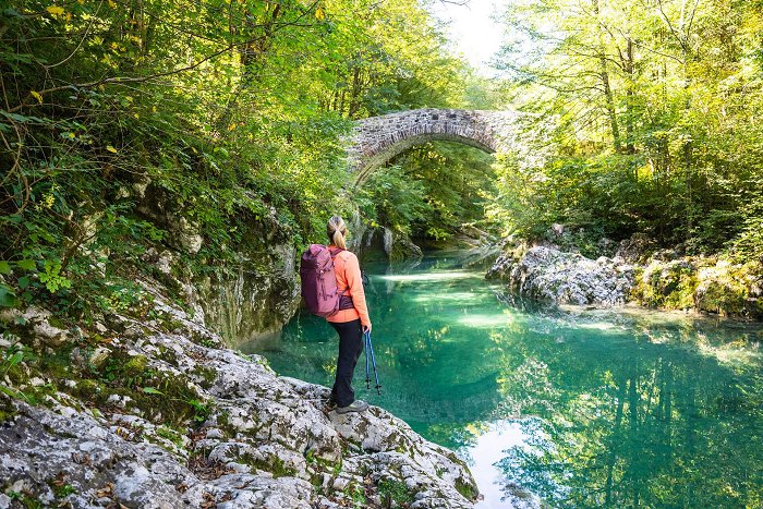
Many connecting routes cross the mountains of the Soča Valley: the Alpe Adria Trail connects Grossglockner with sea through the valley. The Walk of Peace follows the battle lines of the First World War, whereas the Old Border Trail follows fortresses which were built between the two wars. The E7 European Long Distance Path crosses the entire valley, from the River Nadiža to Baška grapa.

Slovenian Mountain Hiking Trail
Experience Slovenian mountains, hills and lowlands from Maribor in Styria to Ankaran in the Slovene Littoral. The oldest European connecting mountain trail climbs Pohorje, the Kamnik-Savinja Alps and the Julian Alps, the pre-Alpine hills and leads to the green Karst and the Adriatic Sea.
This mountain hiking trail, which covers the majority of the Slovenian mountainous world, connects the highest peaks and ridges of the Julian Alps.
The Slovenian Mountain Hiking Trail in the Soča Valley
The Slovenian Mountain Hiking Trail or Slovenian Transverzala is an unforgettable Alpine journey, which shines in the area when the mighty Julian Alps ascend above the emerald green Soča River to reach towards the sky:
- Triglav (2,864 m), the highest Slovenian peak,
- Pogačnikov dom na Kriških podih (2,050 m) and the Kriška jezera lakes,
- Razor (2,601 m), Prisojnik (2,547 m),
- Vršič, the highest mountain pass in Slovenia (1,611 m), Poštarski dom, Tičarjev dom and Erjavčeva koča,
- From Jalovec (2,645 m) to Zavetišče pod Špičkom to the emerald green source of the Soča River and the Kugy monument (the greatest difference in altitude on the Slovenian mountain hiking Transverzala, 1,758 m),
- Dom Trenta, the Triglav National Park Information Centre,
- Zasavska koča na Prehodavcih (2,071 m), Koča pri Triglavskih jezerih (1,685 m), Komna,
- Planinski dom pri Krnskih jezerih (1,385 m), Gomiščkovo zavetišče na Krnu (2,182 m),
- Koča na planini Razor (1,315 m), Vogel, Rodica, Črna prst ...
Slovenian Mountain Hiking Trail – Interesting Facts
- walking time: a minimum of 30 days; take your time and strive to complete individual parts over a longer period of time;
- trail length: 584 km;
- total difference in altitude on the trail: 47 km;
- mark: Knafelc blaze with the number 1
- 80 control points, 49 mountain huts.
Slovenian Mountain Hiking Trail – INFORMATION
The Slovenian Mountain Trail website>

Via Alpina Hiking Trail
Can you imagine what kind of treasury of unique sights and interesting facts is hidden in the Alps? Take your time for an alpine journey and pick a stage that suits you best.
This incredible hiking adventure, the Via Alpina, connects the vast Alpine and Mediterranean world across eight European countries.
This spectacular long-distance hiking trail is divided into 161 stages overall, which are located in Italy, Slovenia, Austria, Germany, Liechtenstein, Switzerland, France and Monaco. It connects five international footpaths, numerous natural and national parks in the Alps region, interesting tourist spots and the worlds of many diverse European cultures.
The Via Alpina in Slovenia and in the Soča Valley
There are two versions of the trail that cross Slovenia, i.e. the longest, the red trail, which winds from the coastal Trieste over the vast European Alpine massif, and the slightly shorter, violet trail, which crosses the East Julian Alps, Kamnik-Savinja Alps and Karavanke in Slovenia.
- walking time across Slovenia: 7 days,
- trail length in Slovenia: 220 km red trail, 120 km violet trail
The red trail of the Via Alpina enters the Soča Valley from the picturesque Triglavska jezera lakes. The route spans the Tržaška koča na Doliču, from where it leaves the high mountain world and descends to the glacial valley of Zadnjica. In addition to the incredible flora and fauna that accompanies travellers on their way, the following tourist spots and sights are captivating:
- Dom Trenta, the Triglav National Park Information Centre;
- Botanical Garden Alpinum Juliana;
- dr. Julius Kugy Monument;
- the Source of the Soča River.
The trail continues along the alpine paths across the Vršič pass, from where it descends between rare larch trees to the Tamar Valley.
Via Alpina - INFORMATION

European Long Distance Path E7
European Long Distance Path E7 crosses Slovenia in the west to east direction. The entry point of the trail is the Robič border crossing in the Soča Valley, from where the trail crosses the Loka and the Polhov Gradec Hills, directs itself towards Lower Carniola and then continues to Pannonian Slovenia and Hungary.
Step onto a trail that connects the Atlantic Ocean with the Black Sea. Let the part of the trail from historical Kobarid to the dreamy pastures and sights in the surroundings of Tolmin enchant you.
- walking time across Slovenia: 30 days,
- trail length in Slovenia: approximately 600 km (a total of 4,330 km)
- trail difficulty level: medium to easy marked trail
- mark: yellow circle with a red border and the label E7
- 42 control points
European Long Distance Path E7 in the Soča Valley and the sights on the way
The trail in the Soča Valley lies partially on asphalt roads and partially on forest, alpine and bridle paths, as well as old military roads, which bear witness to years of fighting and dark eras in the Soča Valley. Interesting points and stops:
- The Robič border crossing, the crystal clear Nadiža River with arranged bathing areas;
- Kobarid, a historical town with an incredible museum about the heritage of the First World War;
- Napoleon Bridge over the Soča River;
- Gregorčič's educational path, Vrsno, Krn village;
- the still active Pretovč mountain pasture with an incredible view over the Soča Valley;
- descent towards the famous Javorca Memorial Church;
- the festival town of Tolmin, fantastic natural wonder of the Tolmin Gorges;
- Tolminske Ravne and Razor mountain pasture,
- Stržišče, Petrovo Brdo, Porezen.
European Long Distance Path E7 - INTERACTIVE MAP OF SECTIONS

Slovenian Geological Trail
The Slovenian geological trail connects over 87 geological peculiarities, which are scattered around the area between the mountain village of Jezersko and Idrija, where the world-famous mercury mine is.
Explore the secrets of the Slovenian geological world on a diverse trail, full of interesting geological creations.
Slovenia lies in an incredibly geologically diverse area, the crossroads of the Alpine and the Dinaric mountain world. The once remote rocks of the African and Eurasian tectonic plates were joined in the area of Slovenia due to their movement and created the most interesting phenomena.
Come for Some Geological Wandering in the Soča Valley
Discover how the Julian Alps came to be, stop by interesting rocks, fossils and Karst phenomena, hidden by the intact Triglav National Park. Upgrade your trip to the mountains by admiring the geological treasures scattered along the Slovenian geological trail in the Soča Valley and in the nearby surroundings:
- Vršič, the source of the Soča River and Mlinarica;
- Kriški podi;
- Valley of the Triglavska jezera lakes, ammonite fossils and the karstic reshaped landscape;
- Lake Krn, Krn and the lake in Lužnica under the Peski massif: the red infillings of megalodontid bivalves and long cracks filled with red sediments;
- the unusually shaped and coloured botanical paradise of Rdeči rob: a massif of reddish marly limestone amidst the white and the grey limestone;
- Tolmin Gorges, typical cracks cut into the limestone as vertical plates;
- Tolminske ravne, planina Razor and Baška grapa: wonderful profiles of strongly pressed rocks.
Slovenian Geological Trail - Interesting Facts
- trail length: 265 km
- mark: yellow-red blazes and labels next to the geological curiosities.
We recommend using a guide.


